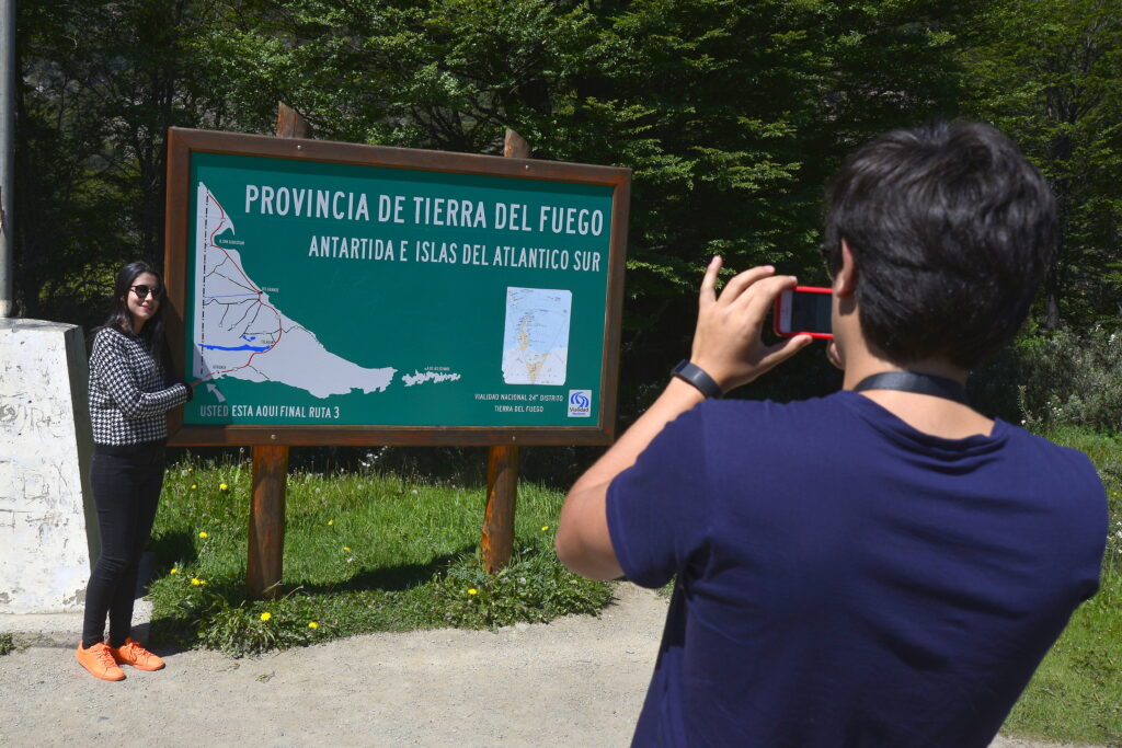
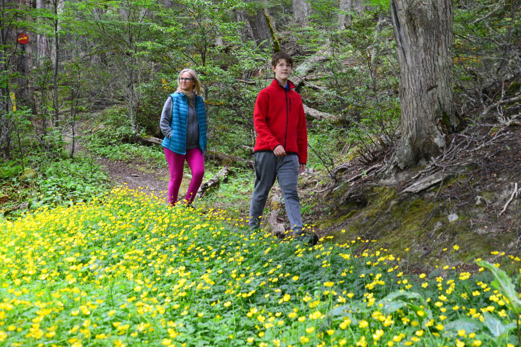
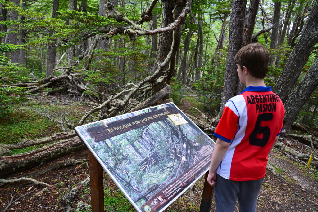
Walking in the Park
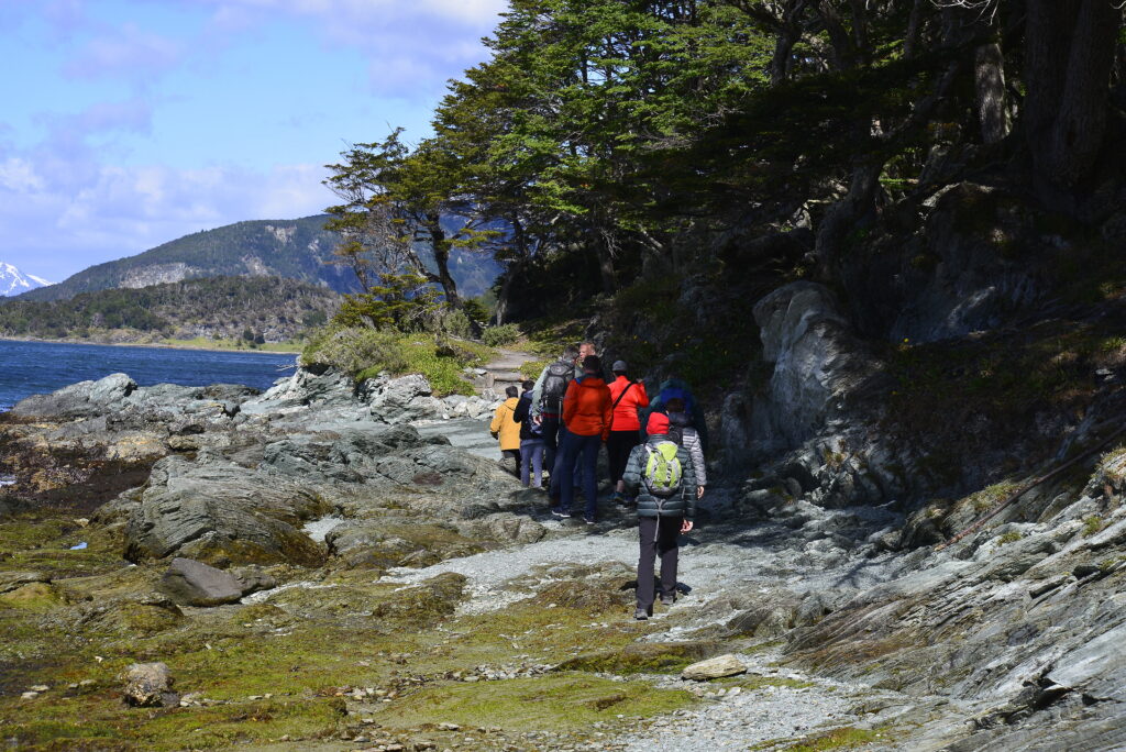
Tierra del Fuego National Park has trails of all kinds: short, long, more or less difficult. Whichever one you choose, it will take you to places of incomparable beauty.
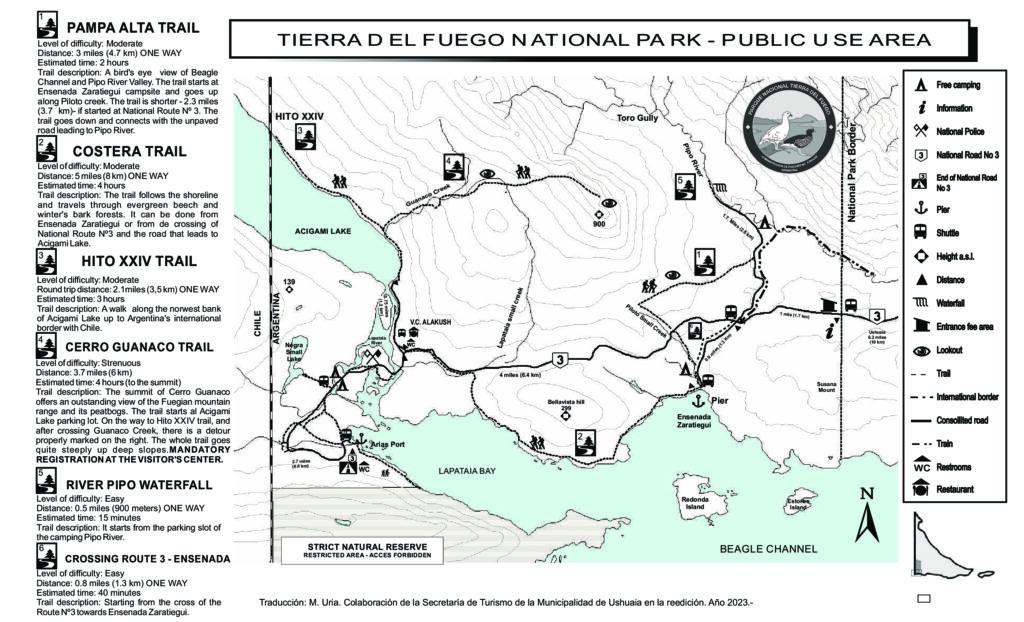
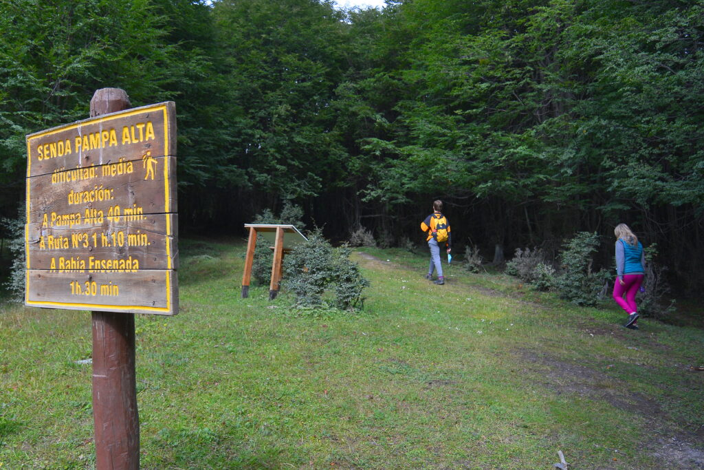
Pampa Alta Trail
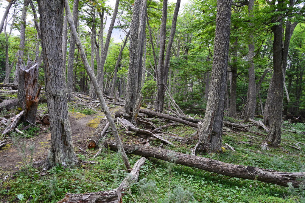
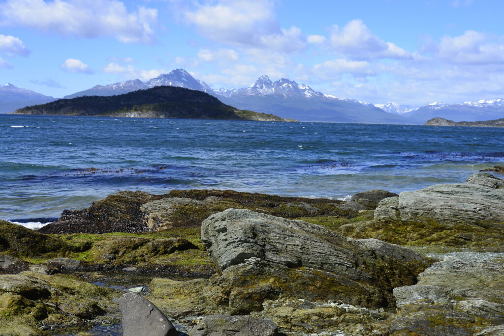
This trekking can be accessed from Ensenada Zaratiegui Bay or from Route 3. The first option is 4.9 km long, while the second one is only 3.7 km long. The trail runs through a dense forest of lenga and guindo. At the end of the trail, this pampa offers a panoramic view of the Beagle Channel, the valley of the Pipo River and the Guanaco Hill.
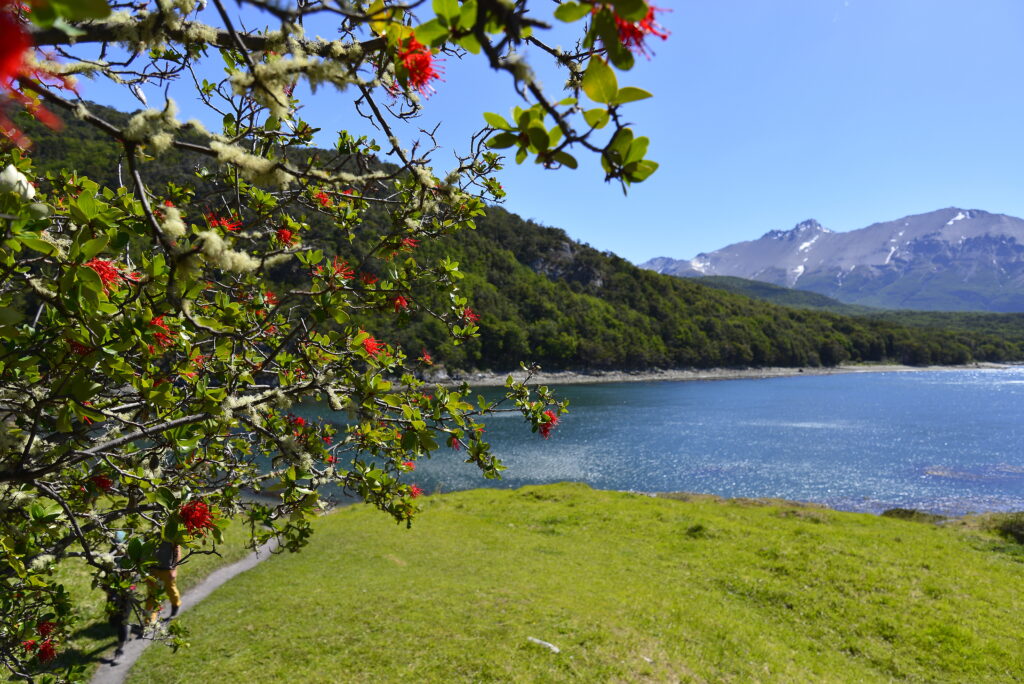
Coastal Path
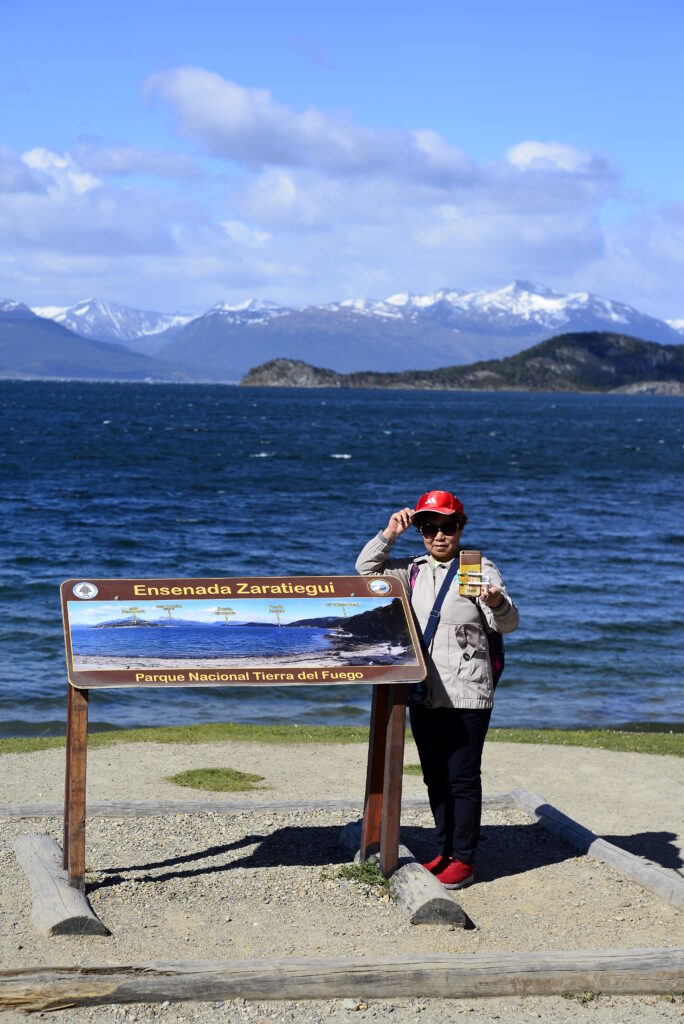
The path runs for 8 kilometres along the coast of the Beagle. It can be accessed from Ensenada Zaratiegui Bay or from the crossing to Lake Acigami on Route 3. This walk offers incomparable landscapes of the Fuegian coastal forest and crosses small sandy and rocky beaches. It is usually a quite humid trail, so it is advisable to wear appropriate footwear and clothing. It is of medium difficulty and lasts approximately 4 hours one way.
Hito XXIV Trail
Lake Acigami (Roca), like Lake Fagnano (Khami), is a binational lake, crossed by the Chilean border. Walking about 3.5 kilometres along the northwest shore of the Acigami you will reach milestone XXIV, which marks the division between Argentina and Chile. It is a medium-difficulty trail that takes about 3 hours each way.


Cerro Guanaco
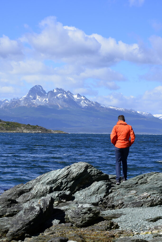
The path to reach the summit of Cerro Guanaco is of high difficulty. It is almost 4 kilometres uphill on steep slopes. It takes about 4 hours to reach the summit from where you can see the Fuegian mountain range, its peat bogs and the Beagle Channel. MANDATORY REGSTRATION HERE
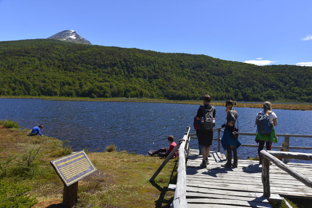
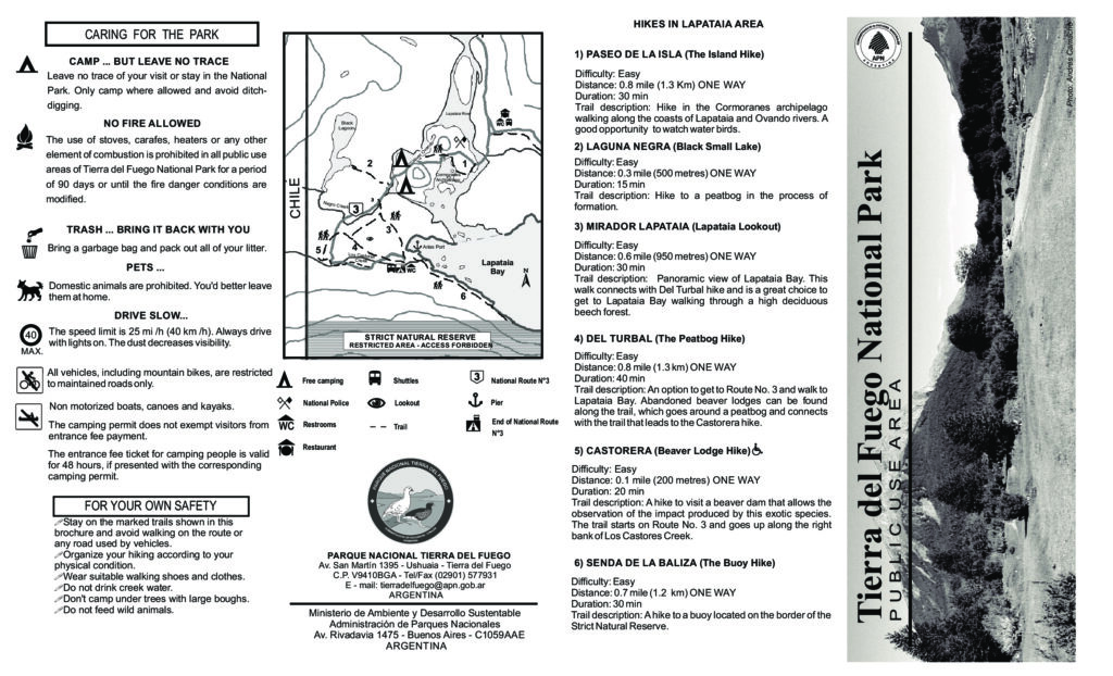
Lapataia
The Lapataia sector has several short, low-difficulty trails.